


Progress your career
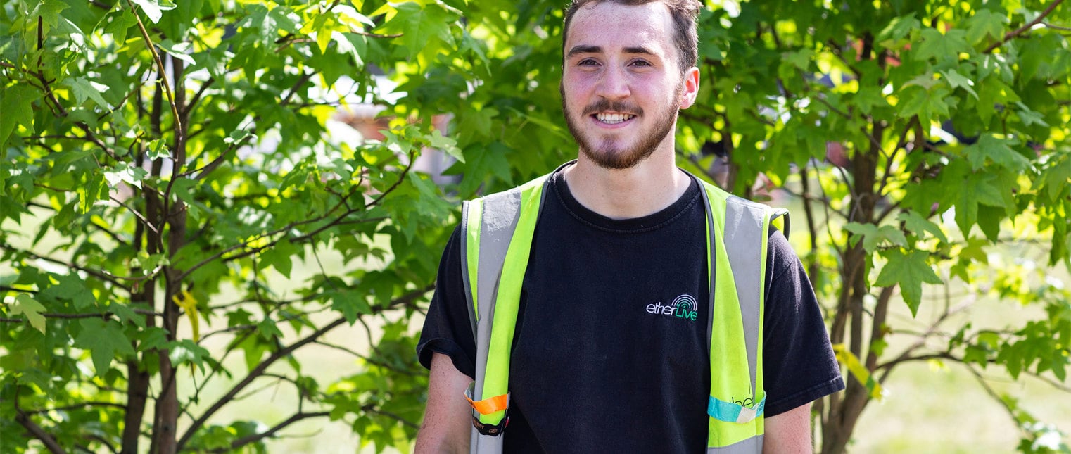
A lot of people think IT is very office-based and involves sitting at computers, in front of a monitor - that’s definitely not the case. We are constantly out on sites and being hands-on plugging things in - the job is also a combination of the physical and the technical.

It's great to have those letters after your name, to show you've got that passion for what you do.

The value that BCS provides to us as an organisation is around staff development and professional recognition.

The best part of BCS is making connections and expanding your network.

Diversity and inclusion as standard
That’s the common goal for our industry. But like many industries, there are complex and wide-ranging challenges we firstly have to face. At BCS, we’re facing them together as a priority.


Introducing Net Zero: A Digital Journey
We’ve partnered with CWP to produce an innovative digital series exploring the vital role of the IT industry in responding to the climate crisis. Hear from inspirational individuals and organisations at the forefront of digital technology innovation in the pursuit of net zero.